

Previous versions of the electoral map
In this section
These electoral maps were used in general provincial elections in recent years. To view the current map, visit the Québec electoral map page.
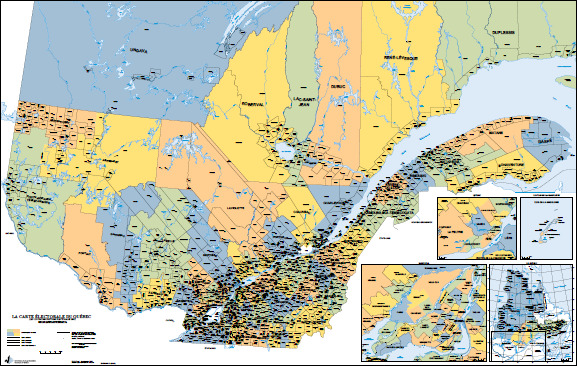
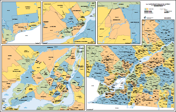
2017
The official electoral map, published by the Commission de la représentation électorale, represents the entirety of Québec, with its 125 provincial electoral divisions. The boundaries of the electoral divisions on this electoral map were in force during the 2018 and 2022 provincial general elections.
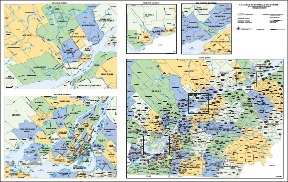
2011
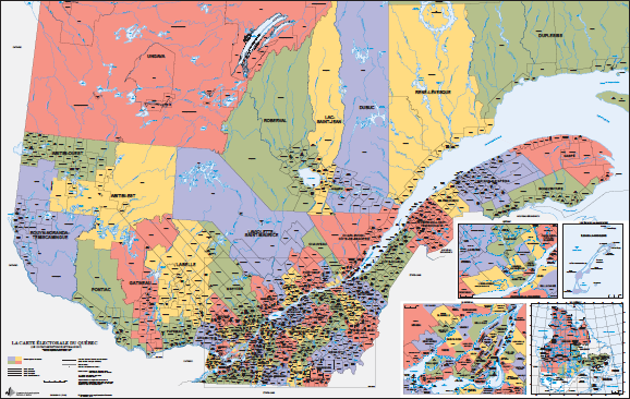
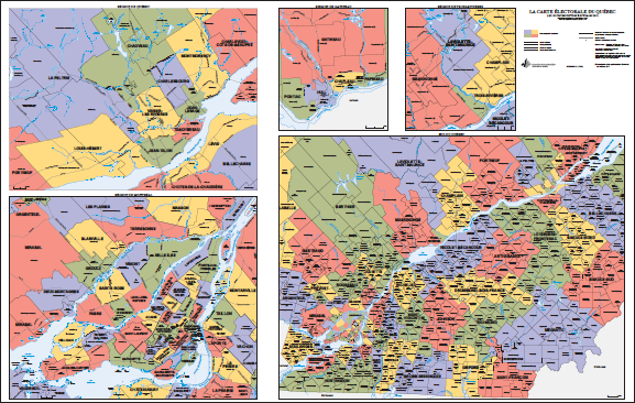
The official electoral map, published by the Commission de la représentation électorale, includes all of Québec’s 125 provincial electoral divisions. The boundaries of the electoral divisions given on the map were those in effect for the 2012 and 2014 general provincial elections.
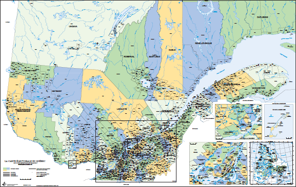
- 2011 Québec electoral map (PDF – Front – in French)
- 2011 Québec electoral map (PDF – Back– in French)
2001
The official electoral map, published by the Commission de la représentation électorale, includes all of Québec’s 125 provincial electoral divisions. The boundaries of the electoral divisions given on the map were those in effect for the 2003 and 2007 general provincial elections.